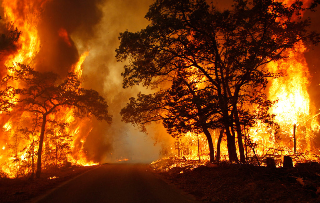
Elevated Fire Danger Thursday

ROANOKE – The National Weather Service has elevated its forecast from a Wildfire Weather Watch to a Red Flag Warning in many places today. This increase is in reaction to a drop in humidity, warmer temperatures, dry fine fuels, and predicted winds and gusts in front of the approaching cold front.

This cold front will bring relief in the form of moisture Friday
going into the weekend; however, conditions today will be critical.
Temperatures are off to a mild start in the 40s and 50s. By this afternoon, our highs will hit in the upper 60s and 70s. During this afternoon, winds will increase with gusts hitting over 30 MPH at times.
According to the National Weather Service, some areas still have a lot of dry air, so along with the warmer than average temperatures and the gusty winds, we do have an elevated risk for wildfires today.
Open burning is considered extremely dangerous!
Virginia is in the middle of fire season, and while we were fortunate early on to have received rain and snows, the constant sunshine has left the Commonwealth more flammable than usual.
“The fire danger right now is the highest that it’s been all fire season – in fact, we have not seen conditions like these for a couple of years,” said John Miller with the Virginia Department of Forestry. “In dry conditions like this, if a wildfire starts it will be very difficult to suppress and is very dangerous.”
Virginia has a burn ban in effect before 4 p.m. until the end of April.
The Virginia Department of Forestry advises people to not to burn at all due to current dangerous conditions.
Please remember … ONLY YOU CAN PREVENT WILDFIRES!
For more information on wildland fire in Virginia, please visit:
https://www.dof.virginia.gov/fire/